
Official Sponsors

07.09.2024
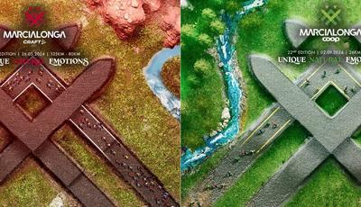
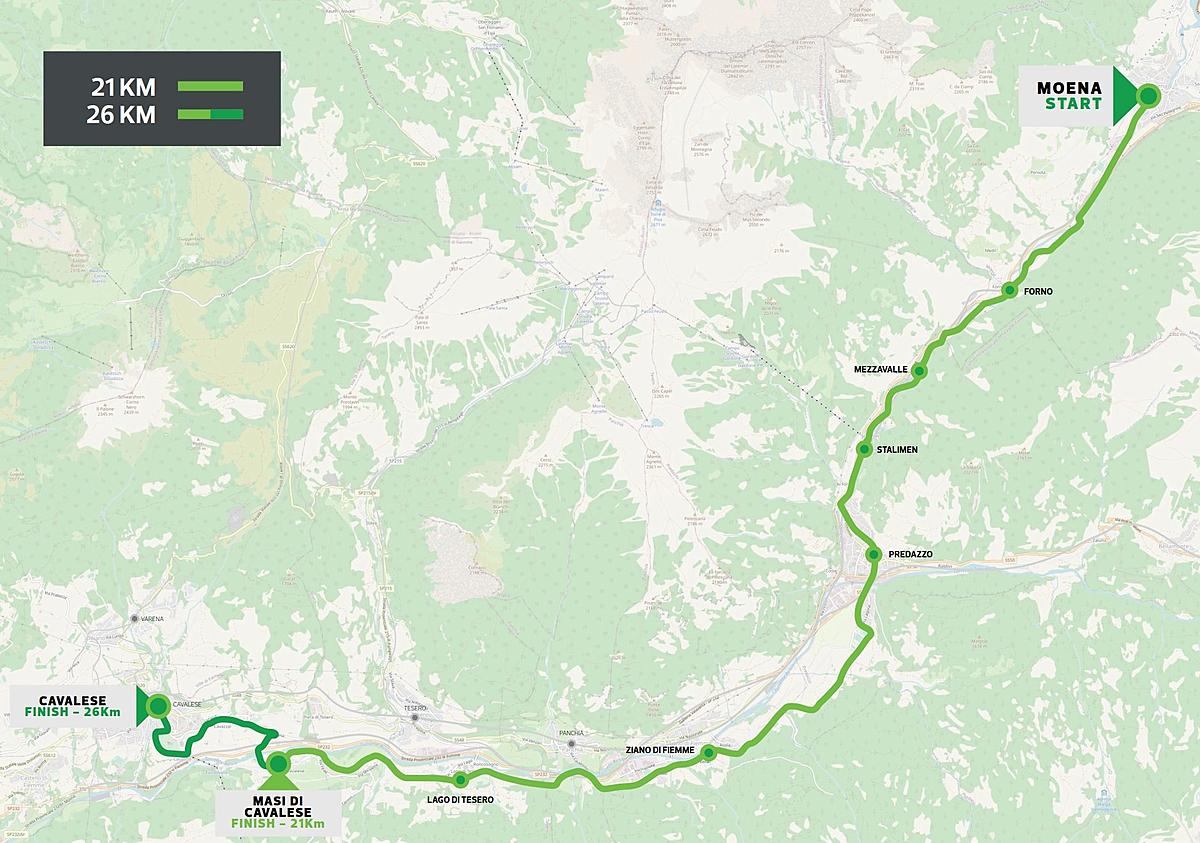
3D Map:
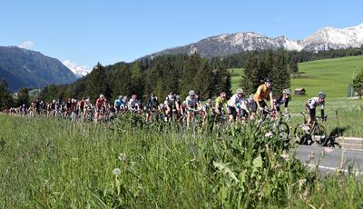
Map
Profile
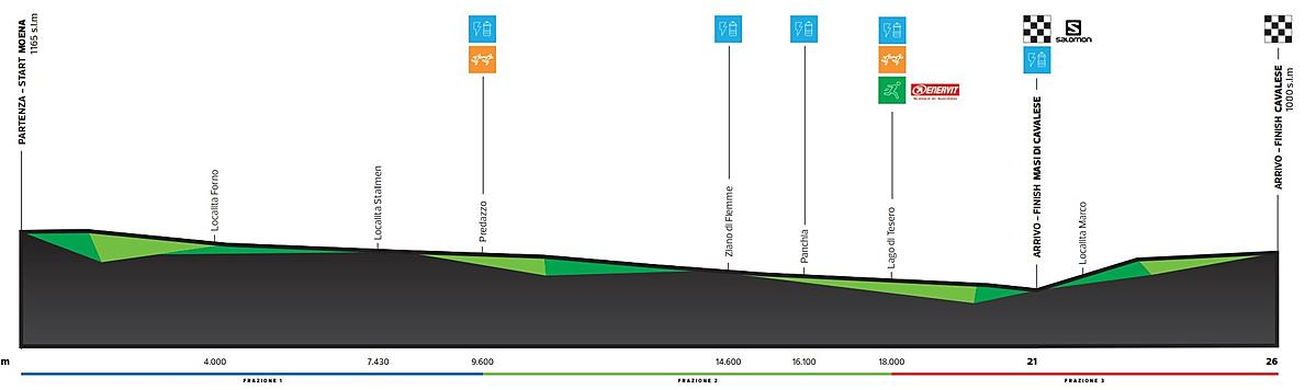
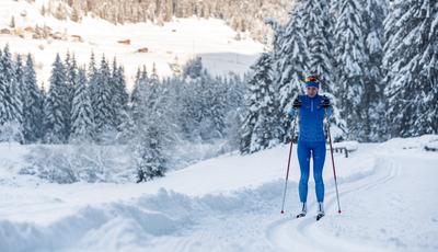
Features 21 km
Features 26,5 km
Description
Title sponsors

Main Sponsors


Official Sponsors
Sustainable Partner

Official Suppliers


Official TV Broadcaster

Institutional Partners

Friends